An Earth and space technology company

Mapping the world in high-fidelity 3D

The most detailed digital twin of every city on Earth. Built from satellite imagery and AI.

Request a demo

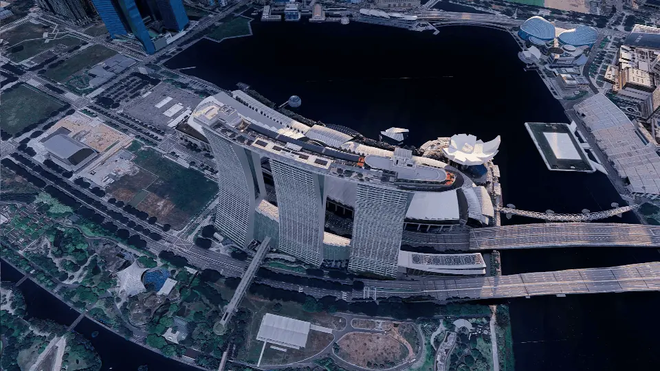
We build 3D city models of the entire planet. Millions of satellite images, fused with geospatial and street data, become a semantic, machine-readable database and a photorealistic 3D world. Built for simulation, visualisation, urban planning, smart cities, ESG, security and defence.

Powered by satellite imagery and deep learning

What we do

From orbit to street level

  1. 01

    Capture

    It starts with a 2D satellite image, street view and indoor maps. No aerial photogrammetry. No no-fly-zone restrictions.

  2. 02

    Reconstruct

    Our planetary-scale AI platform converts the imagery into a semantic, geo-specific 3D replica. Any city on Earth.

  3. 03

    Operate

    The result is a photorealistic, high-performance twin where every building is a machine-readable object, ready for simulation and live data.

    • Residential
    • Commercial
    • Industrial
    • Civic

Enter the future

See it running

Real footage from live VIZZIO twins. Hover a frame to preview it, select it to play the film.

The numbers

Modelling world cities at machine scale

We make high-quality 3D modelling faster, more affordable and open to everyone, by removing the cost, complexity and production time that held it back.

11.5M
lines of code
7.2M
sq km of cities modelled
50
patents filed
2.3M
3D models generated
76%
average time saved against traditional methods
835
sq km of indoor space mapped

Products

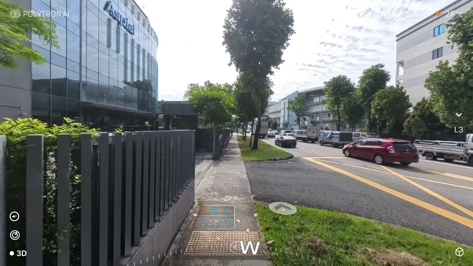
For earth mapping Earth.ai Satellite imagery and geospatial data, turned into detailed, photorealistic 3D digital twins of whole cities. Explore Earth.ai For live 3D monitoring Polytron.ai AI-powered 360° 3D cameras that turn real spaces into immersive 4D environments, 3D plus video, that you can explore in real time. Explore Polytron.ai

Where we come in

Six industries, one twin

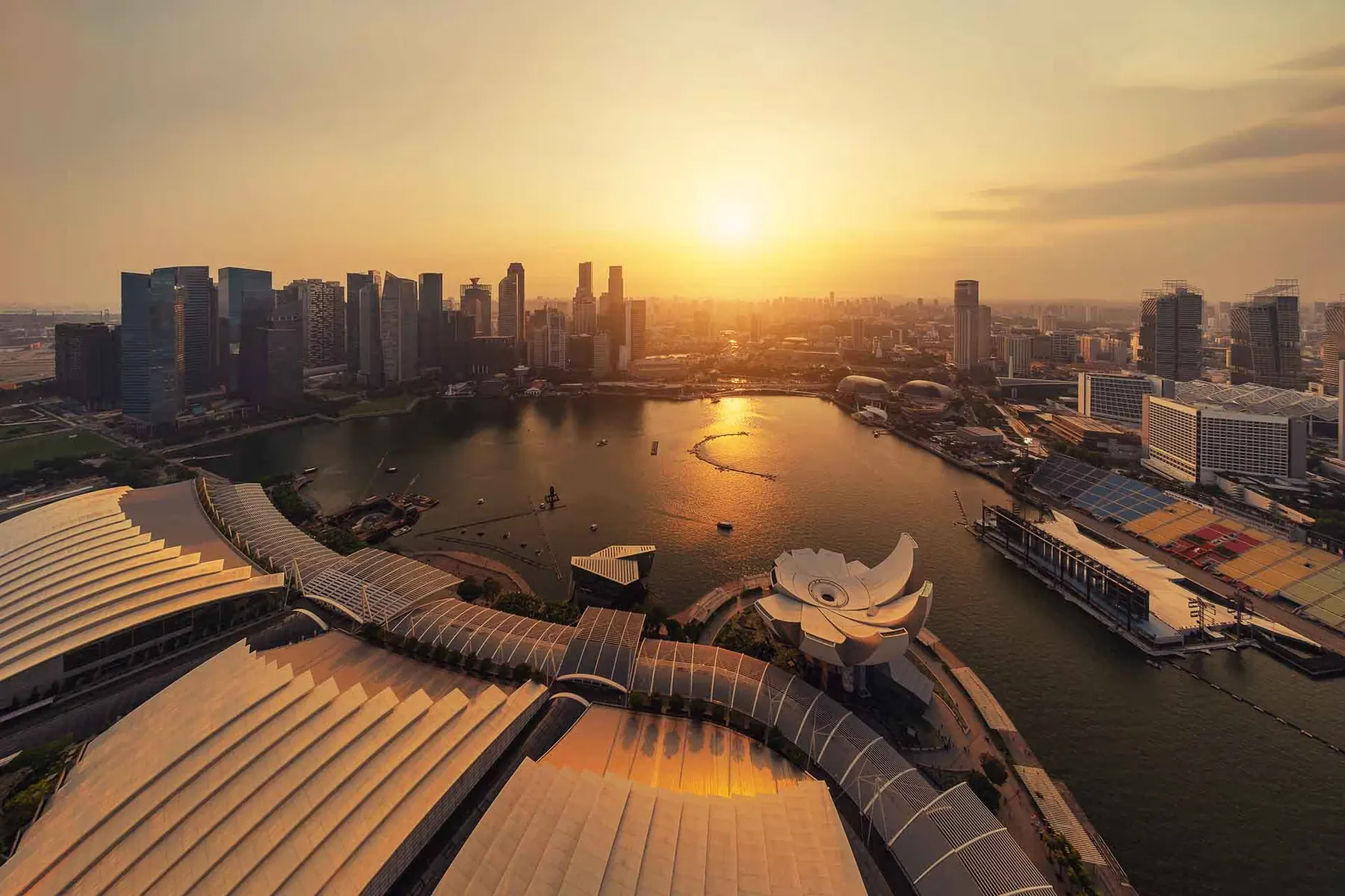
Marina Bay in Singapore at sunset

Smart cities

Building intelligent urban landscapes

City-scale 3D mapping gives planners an immersive, real-time model of infrastructure, landscape and population dynamics. IoT data adds live insight on traffic, energy and resources, so teams can test scenarios before they build.
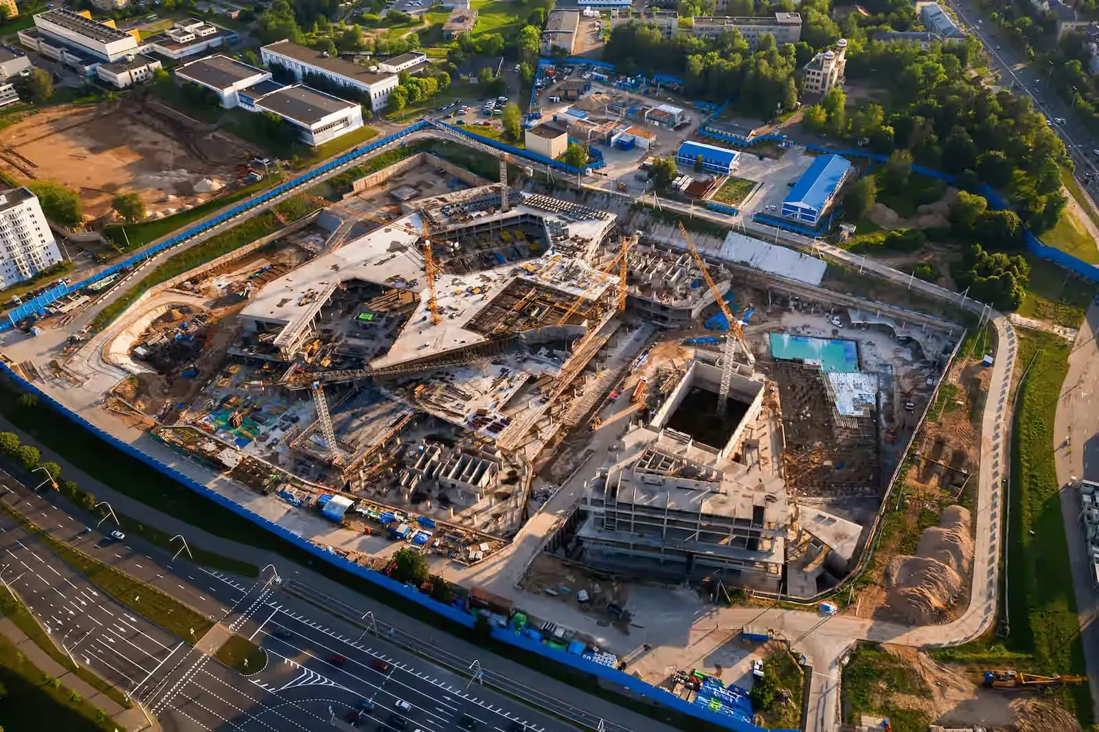

Aerial view of a construction site

Real estate and construction

Project precision and collaboration

Precise indoor and outdoor visualisation, real-time progress monitoring and early issue detection keep projects on schedule. With IoT sensors, the twin tracks structural integrity, equipment use and safety compliance from design to completion.

A container ship seen from above

Logistics and supply chain

Operations with real-time insight

A 3D digital twin optimises workflows, inventory and resource allocation. Better route planning, predictive maintenance and end-to-end visibility cut cost and add agility across the supply chain.

A palm-lined resort pool

Travel and hospitality

Better guest experiences, leaner operations

LIVE 3D virtual tours and a constantly updated 3D city map let travellers explore a place before they book. Operators get real-time insight into occupancy, energy use and maintenance, plus the data for personal itineraries and crowd management.

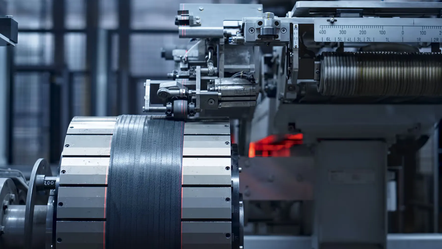
Close view of precision industrial machinery

Manufacturing and industrial

Precision and efficiency on the line

Digital twins and LIVE 3D bring real-time monitoring, simulation and optimisation to production. Quality control, predictive maintenance and line design all improve, with remote teams working from the same live view.

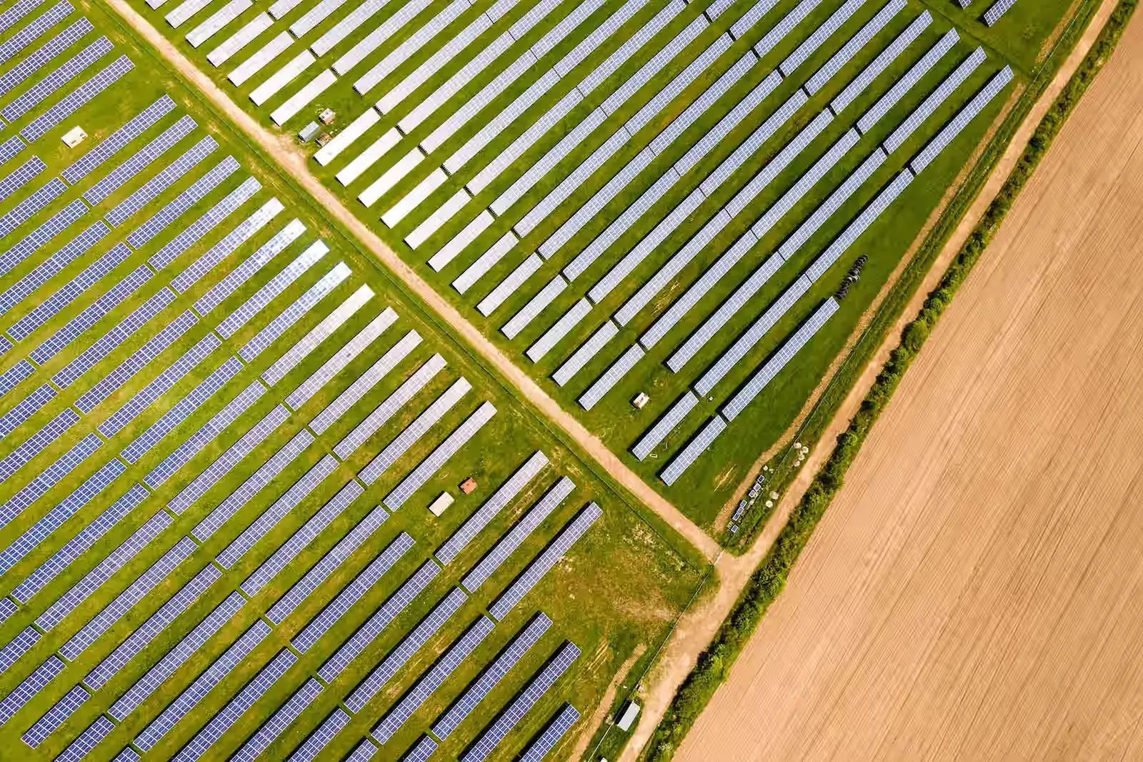
A solar farm seen from above

Energy and utilities

Sustainable operations and resource management

A vision-based, multi-modal AI model powers VIZZIO LIVE 3D Virtual Patrol and POLYTRON ONE. It combines video, sensors and environmental data for pattern recognition, anomaly detection and proactive maintenance.

Trusted by the world's leading players

  • AETOS
  • Advance FT Technologies
  • Attention
  • Bayanat
  • Changi Airport Singapore
  • Dubai Integrated Economic Zones
  • Economic Cities and Special Zones Authority
  • G42
  • Home Team Academy
  • Ingrasys
  • isems
  • Keppel DHCS
  • Keppel Infrastructure
  • KPMG
  • Louis Vuitton
  • Lumina
  • McKinsey and Company
  • Ministry of Education
  • Ministry of Municipal, Rural Affairs and Housing
  • Ministry of Sport
  • Ministry of Culture
  • National University Hospital
  • NHC
  • Singapore Civil Defence Force
  • Pegatron
  • PUB, Singapore's National Water Agency
  • SATS
  • Schneider Electric
  • Kiehl's
  • Singapore Institute of Technology
  • AllCAD
  • ASRock
  • Balady
  • CapitaLand
  • Cognizant Consulting
  • DP Architects
  • Foxconn Industrial Internet
  • GovTech Singapore
  • Hong Kong Police Force
  • IoT Squared
  • Institute of Technical Education
  • Keppel EaaS
  • Keppel
  • Kura Kura Bali
  • LRS
  • Management Resources Network
  • Ministry of Defense
  • Ministry of Health
  • Ministry of Municipalities and Housing
  • Ministry of Interior, Kingdom of Saudi Arabia
  • MTFA
  • National Gallery Singapore
  • National University of Singapore
  • Ministry of Home Affairs
  • Potato Productions
  • Royal Commission for Riyadh City
  • SBS Transit
  • SECOM
  • Singapore Hokkien Huay Kuan

See your city in 3D

Tell us where. We will show you what we can do.

Request a demo